83 Miles of Point Reyes, Part Three

Freedom

The Thaxton 35k - Estero Trailhead

Continued from Part Two.

We were scheduled for a reduced mileage week and since I was coming off of the San Francisco Marathon plus three very high volume weeks I was more than ready for some recovery. It was Alina's turn to create the route and at this point we were on a roll with Point Reyes so we figured we might as well keep going. We'd covered big sections to the south and in the center. Now Alina's route would take us north to the largest set of connected trails we had left to explore.

As we drove past Inverness I started to feel a knot develop in the pit of my stomach. The discomfort felt all too familiar, like the way I used to feel when I was first running in the Headlands. It had taken me a while back then to figure out the cause. It had annoyed me to no end that despite the passage of time the residual echoes of a past relationship could still manifest itself in such an unconscious and physical way. This hasn't happened in ages yet as I watched Tomales Bay go by and the land turned into rolling pastures with cattle I was reminded of the ranch in nearby Nicasio where I once spent a considerable amount of time.

But I didn't feel much annoyance. I knew this discomfort would pass and I’d be creating new memories here to supersede the old ones, just like I did in the Headlands. I had unknowingly started the process two weeks ago. It seemed serendipitous that this specific area, the one that packed more of a visceral punch to my heart, should be where we’d wrap up our first adventure here. Mostly I was curious and surprised. How does such a big part of your life disappear and then come back again? I had completely forgotten that Point Reyes had once figured so largely in my life. Perhaps now I was ready to let it do so again.

A single out and back double lollipop route in blue.
Profile, ~3,200 feet of elevation gain.
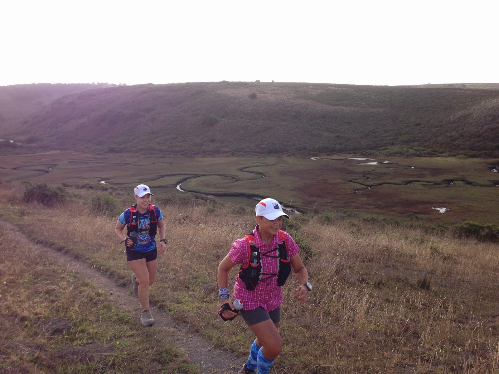
The Estero trailhead at sunrise. Photo: Jennifer Zakroff
We got to the Estero trailhead and it was beautiful with big expansive views across the rolling hills. Despite the odd start to the day I felt so happy to be here and looking forward to what was in store for us. The esteros were amazing. They took on different configurations from open water to muddy shallows to marshy serpentine waterways. After all the climbing we'd done in the last two runs plus the bonus mud from last week, it was nice to be on such relatively mellow terrain, a perfect place to have a long run during a cut back week.

Marshes near Estero de Limantour. Photo: Jennifer Zakroff
Gorgeous patterns in the estero mud flats. Photo: Jennifer Zakroff
Home Bay to the left where we'd sometimes see oyster beds.
Photo: Jennifer Zakroff
We saw a lot of wild life–a herd of tule elk and a lot of different birds. Bugs. At one point I ran into a large spider web that felt like it covered my entire head. I'd already been breaking webs and cruising through clouds of gnats but this one literally stopped me in my tracks and I stumbled backwards when I felt it on my face. Jen and Alina didn't hesitate a second to clean up the mess I'd run into. And, of course, there was cattle. It was their pasture we were in after all. Most looked at us with disinterest and moved off the trail when we approached.

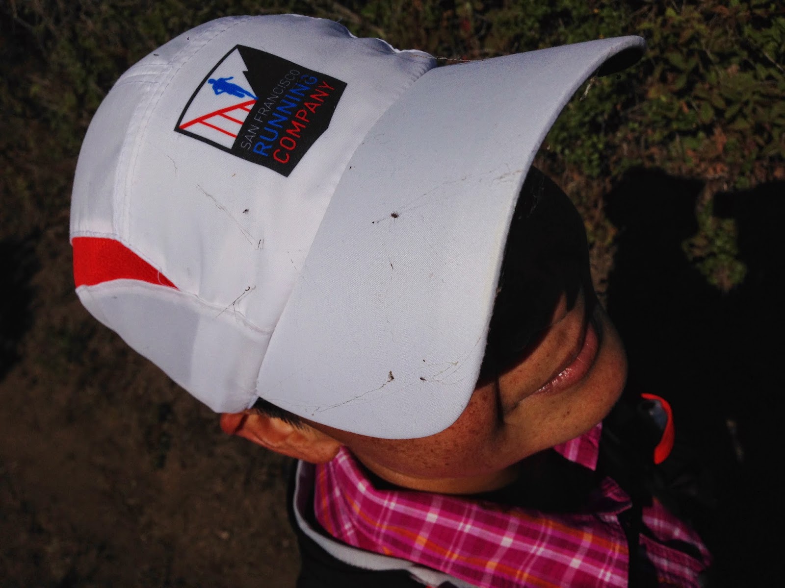
Friends don't let friends go around covered in dead bugs and spider webs.
Photo: Jennifer Zakroff
We were hoping the cow blocking the fence opening ahead would move without too much fuss.
Photo: Jennifer Zakroff
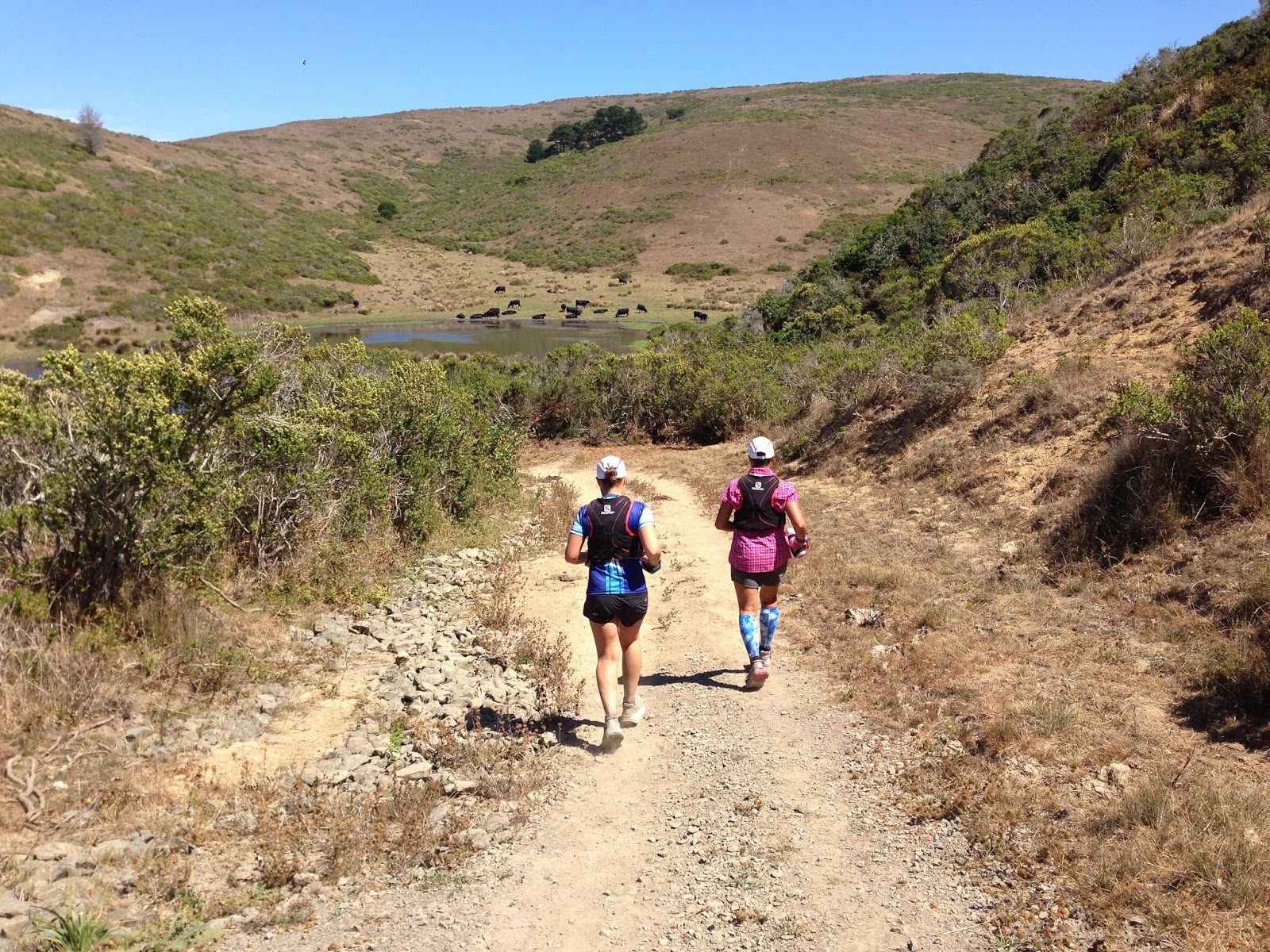
Watering hole. Photo: Jennifer Zakroff
We did have one significant climb up Drakes View to our high point on Point Reyes Hill. It had a spectacular view of the entire coastline almost as far south and north as you could see. Yes, sometimes trail running is about jaw dropping, mind blowing scenery. It was worth the price of admission to get up there. Jen tried to take a picture but the camera couldn’t capture the enormity of what we were seeing so she stopped trying. The three of us just stood there for a while, relaxing, eating some food, and enjoying each other's company.

Navigating is serious business. Photo: Jennifer Zakroff
After being treated to an amazing view, we had another treat in store for us. The descent down Bucklin was a gas. The trail changed quickly from dense thickets with wide pine needle carpeted trails to exposed single track choked with vegetation. Open, closed, open, closed in dizzyingly quick succession. I had to be careful not to get tripped up by the underbrush but attacking that downhill was so much fun.

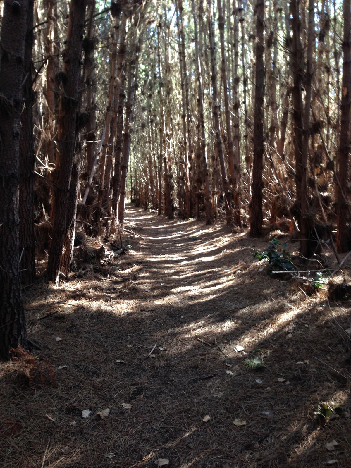
Pine needle carpeted corridors. Photo: Jennifer Zakroff
It's portalpalooza at Point Reyes. Photo: Jennifer Zakroff
Pockets of dense underbrush. Photo: Jennifer Zakroff
Once we had finished the descent we were back on the rolling hills and pasture that we shared with the cattle. This also meant our little adventure was drawing to a close. It was bittersweet, to be sure, but this was my new Point Reyes, now in harmony with the old.

A tree trying to hold itself upright. Photo: Jennifer Zakroff
It's that-a-way back to the car or "Look, Jen, it's a cow!"
Photo: Jennifer Zakroff
We didn't start out with the intention of covering so much of Point Reyes across three back to back weekends. It developed rather organically and it was so great that we each had a strong hand in determining where we were going. I expected I'd be in for an adventure with both high and low points and I got that in spades. What I didn't expect was to encounter my past. Maybe that's why the Big Map has been lying dormant all this time waiting until I was ready to go find it again.


Laura, Alina, and Jen. Photo: The tall one

Labels: ,